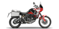
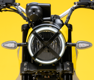
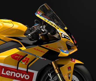
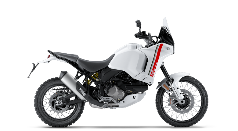
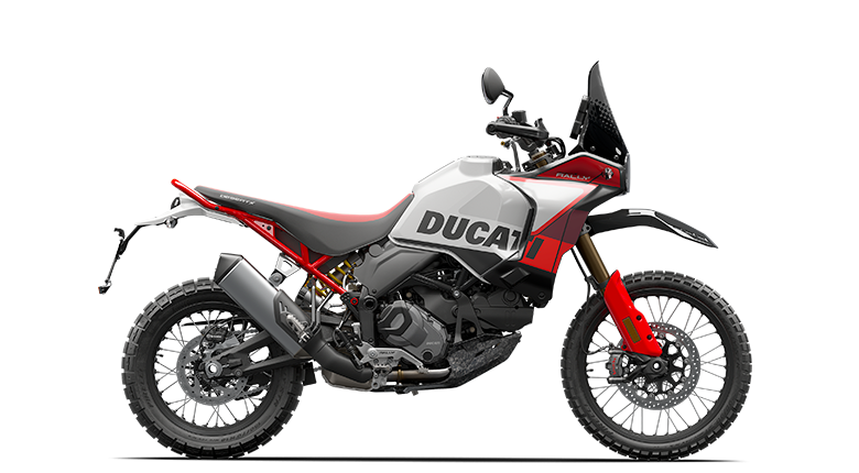
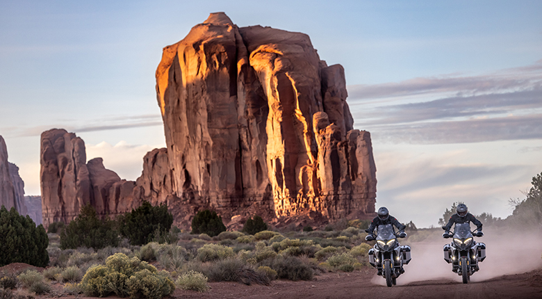
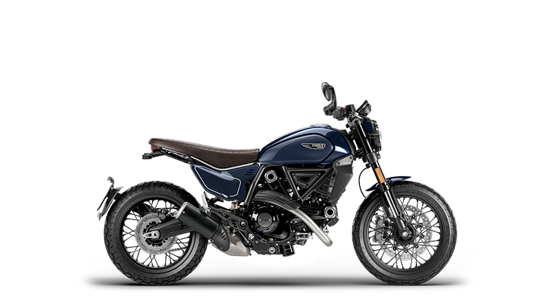
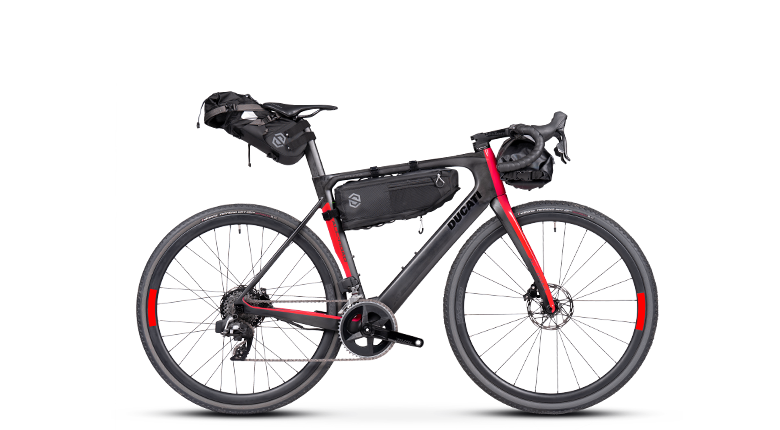
 DesertX
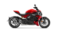 Diavel
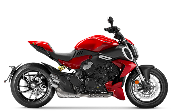
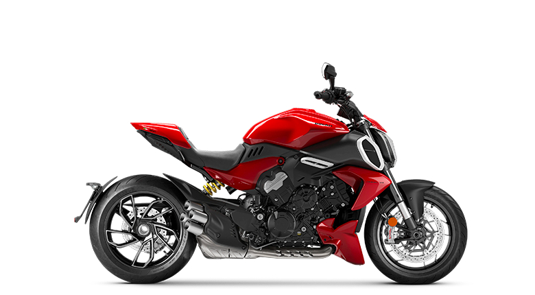
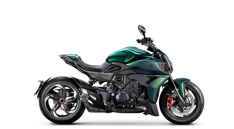
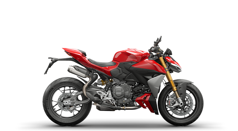
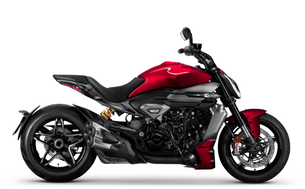
 XDiavel
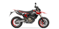 Hypermotard
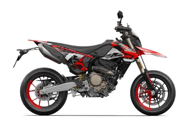
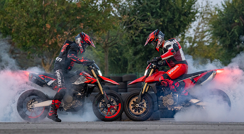
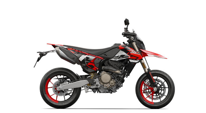
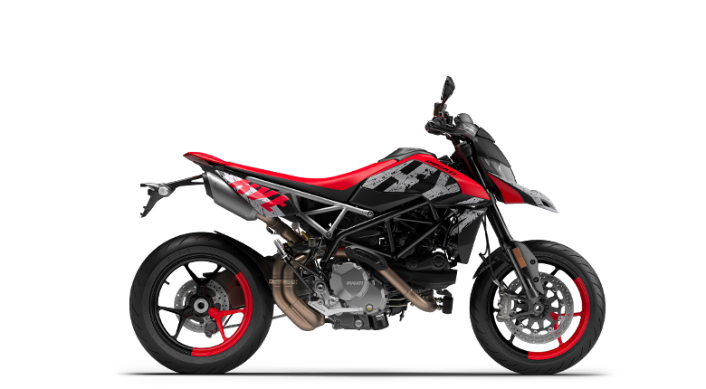
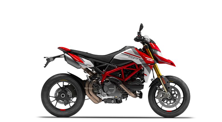
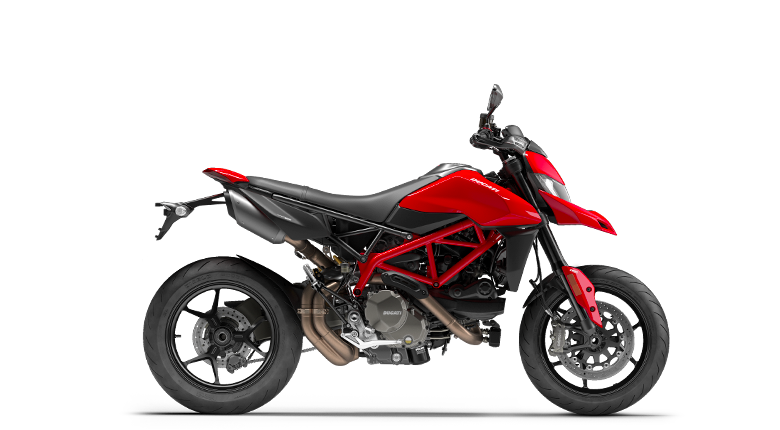
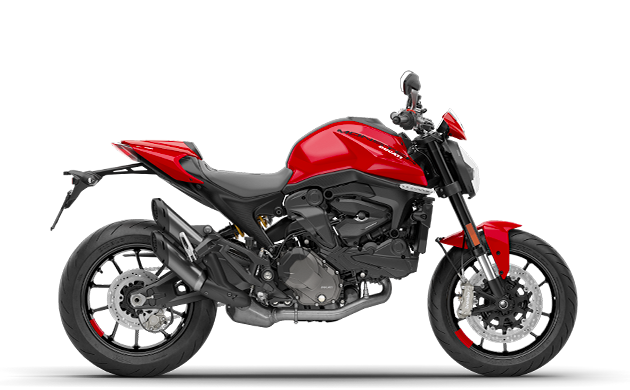
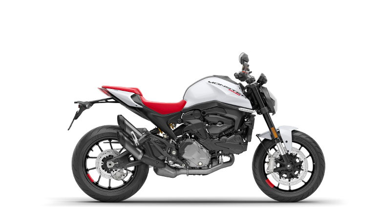
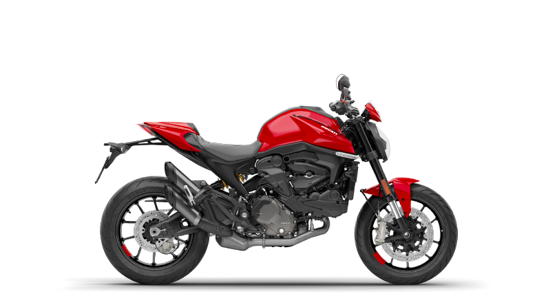
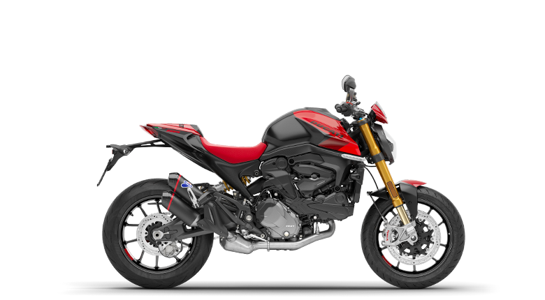
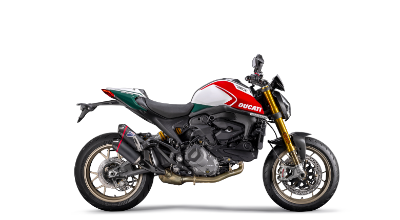
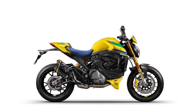
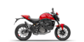 Monster
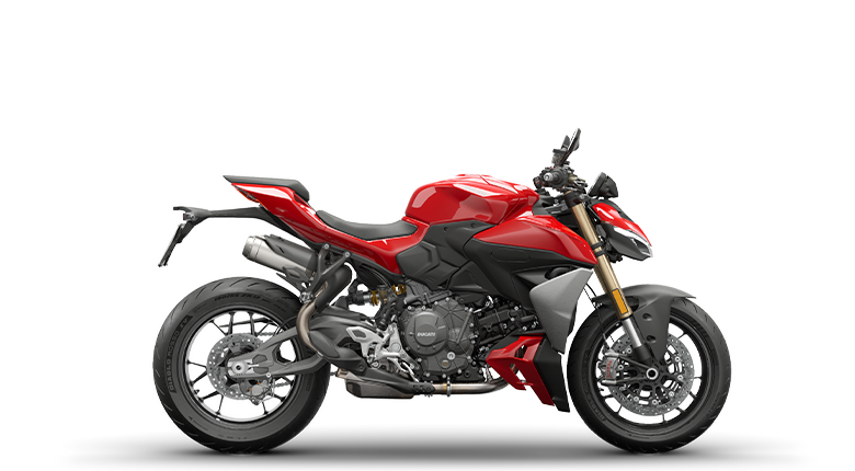
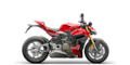 Streetfighter
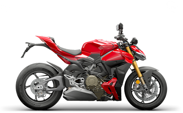
 Multistrada
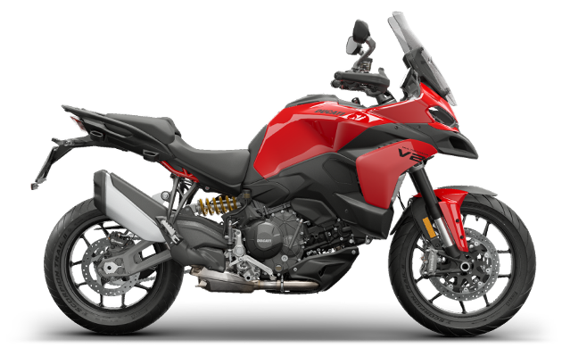
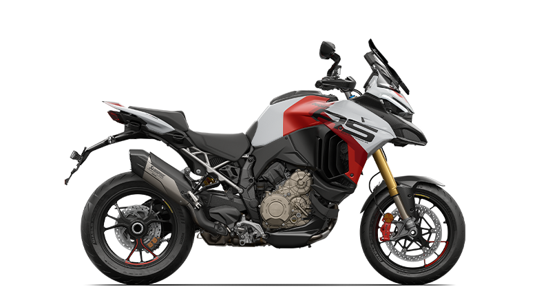
 Panigale
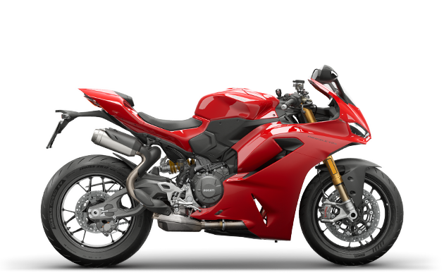
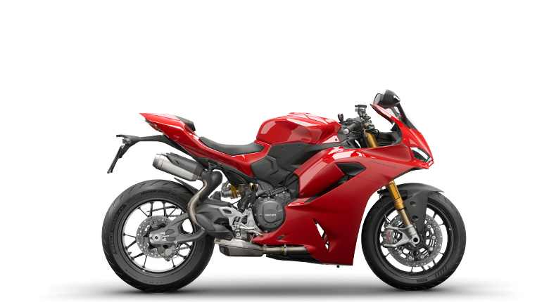
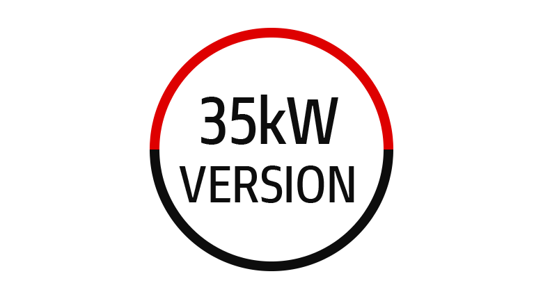
 35 kW Bikes
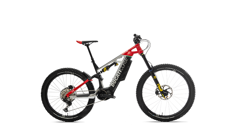
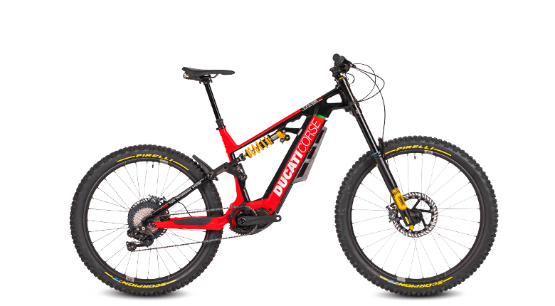
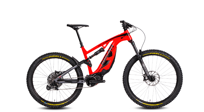
 Off-Road
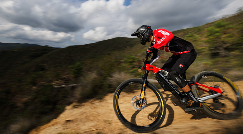
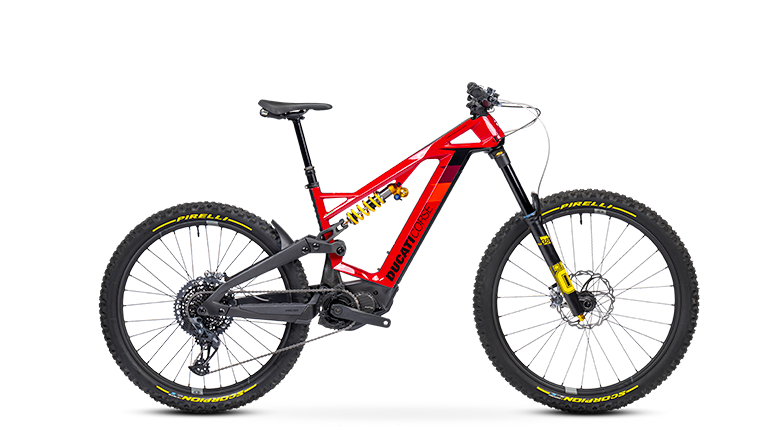
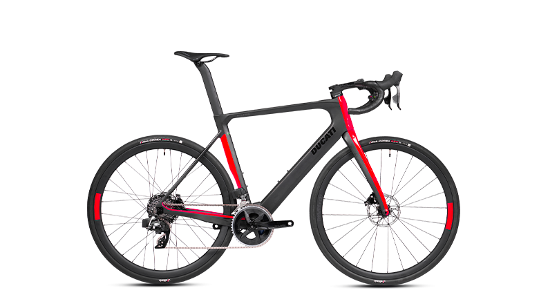
 E-BIKE
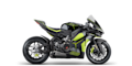 Limited Series

DesertX Family: Exploration and fun beyond all limits.
Take your wildest dreams and make them come true. The DesertX Family will accompany you everywhere. All the way.


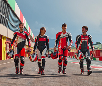
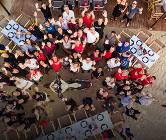
Discover about events and rallies organized by Ducati and the Ducati Official Clubs.
Discover more
The online shop has a whole new look. Our style is the same as always. Buy now!
Click and discover!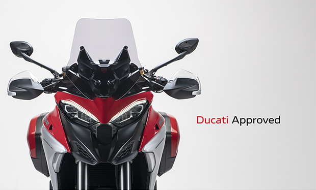
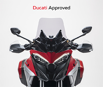
When you choose a Ducati Approved bike, you can be sure that Ducati is always by your side.
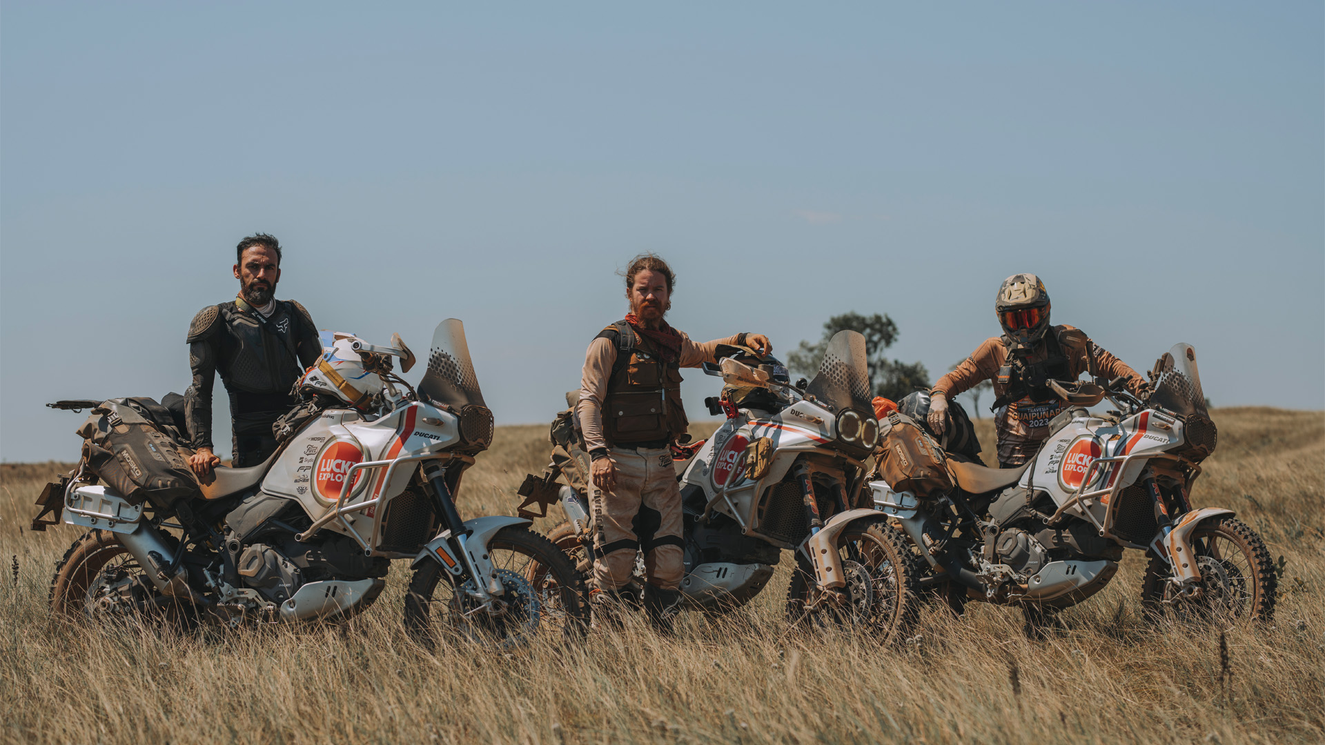
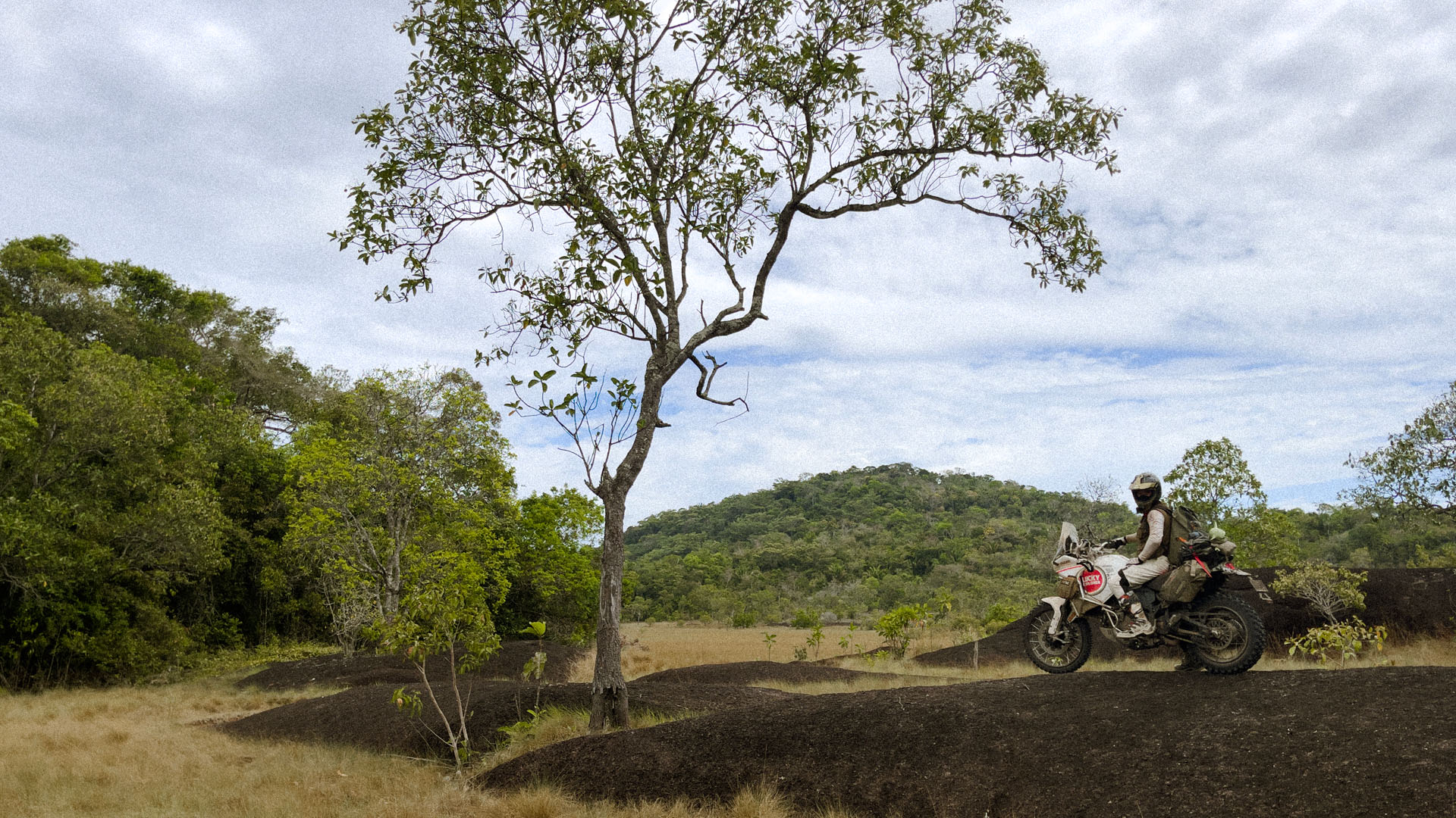
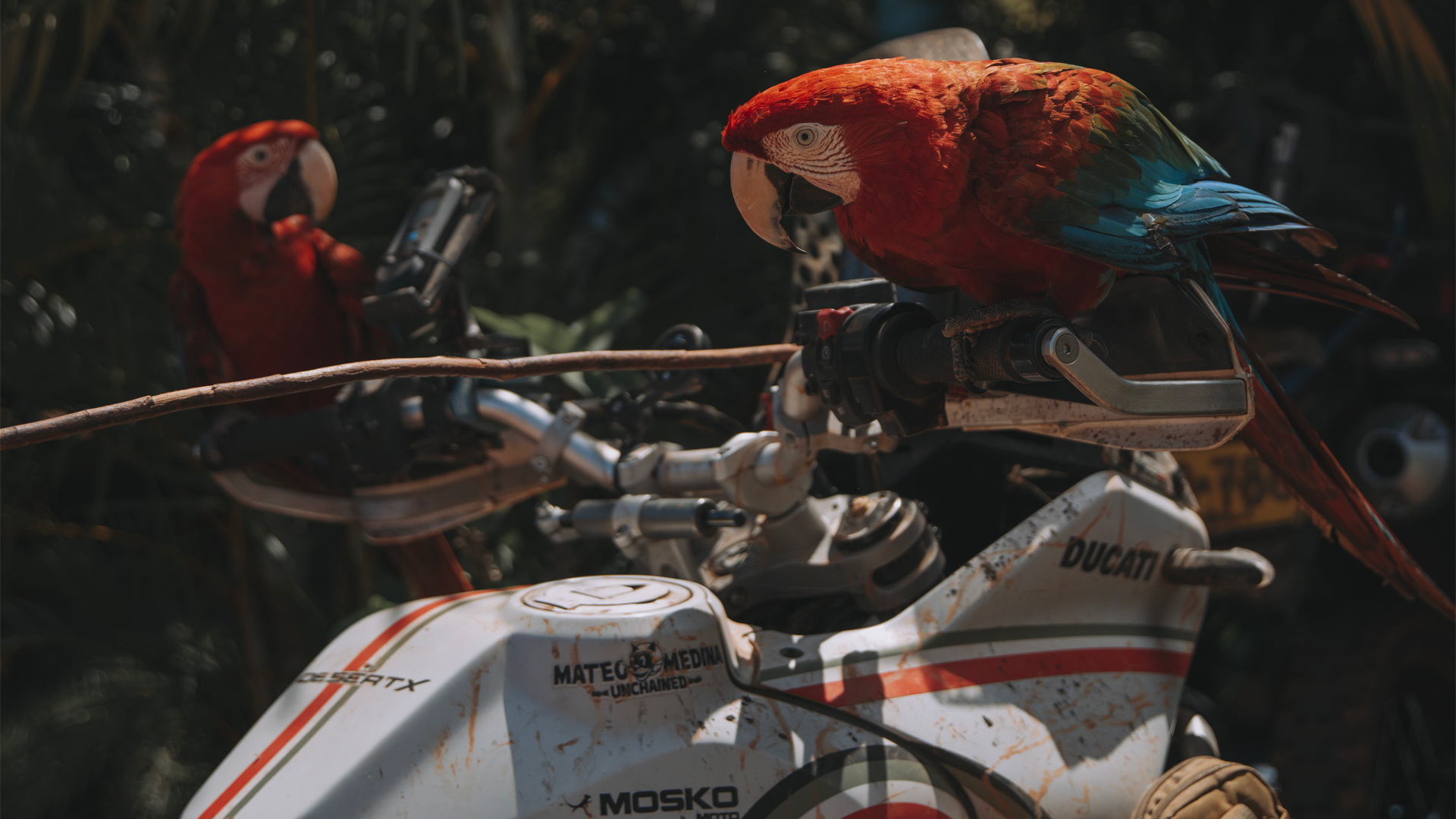
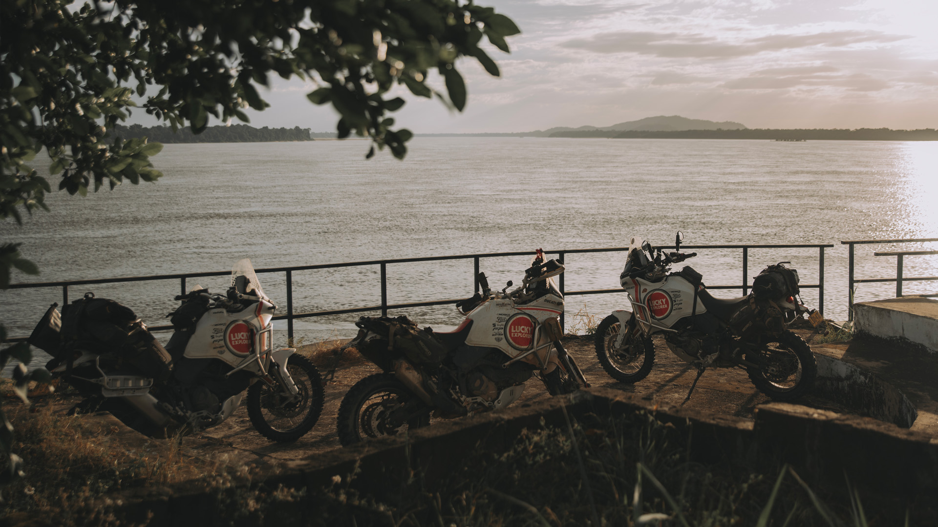
Discover moreThe country of García Márquez’s magical realism, Colombia is recognized worldwide for many things, not least its coffee and music, but among adventure motorcycling enthusiasts it is also known as a riding paradise. It has routes for all tastes and experience levels, but we wanted a real adventure route, a physical and mental challenge for us and our bikes, the Ducati Desert X.
And that’s why we ventured into the most remote areas of the country, the departments of Vichada and Guainía, to reach one of the most incredible places not only in Colombia, but in the world, the Cerros de Mavacure.
We knew it wouldn’t be an easy route, with 1300 km of asphalt and almost 2000 km of off road making up a journey that has undoubtedly marked our lives.
“A journey through legendary lands where time seems to have stopped, where reality is even more fantastic than fiction itself: the Guaipunare adventure would begin here.”
Puerto Gaitan – Puerto Oriente [195 km]
Our wake-up call on day one was at 4.30 a.m., considering we had 200 km of off-road to cover to Puerto Oriente, on the banks of the Vichada river, a place that was once home to a prosperous population but is now inhabited by just two families who are in charge of selling food to the indigenous populations on the other side of the river. Today only the dirty walls, broken ceilings and half-open doors provide a clue as to its prosperous past.
We spent the night there, sleeping between electric generators, the only source of energy in the area, until the dawn chorus of the plain, with its intense colors and jungle sounds, roused us before five in the morning. It was time to enter indigenous territory.
Puerto Oriente – Resguardo indígena Alto Unama – Yopalito – Rio Vichada – Cumaribo [203 Km]
We prepared to travel an area that does not even appear on Google Maps – Chupabe. An area dominated by indigenous people.
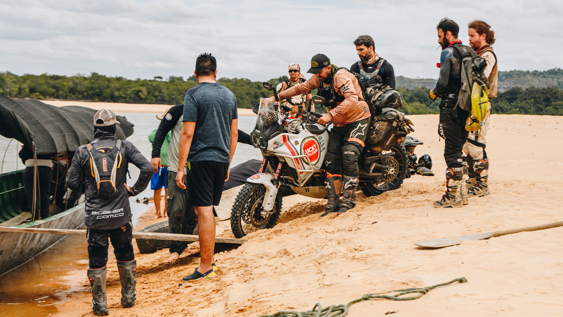
First we had to cross the natural border that is the Vichada River, but we were surprised to find no bridge. Even more surprising was the rudimentary boat with passenger truck we spotted in the distance, modified for this wild terrain and navigating the river that cuts through the jungle plain. This was to be our transport to a land unknown to many, to the Alto Unama indigenous reservation.
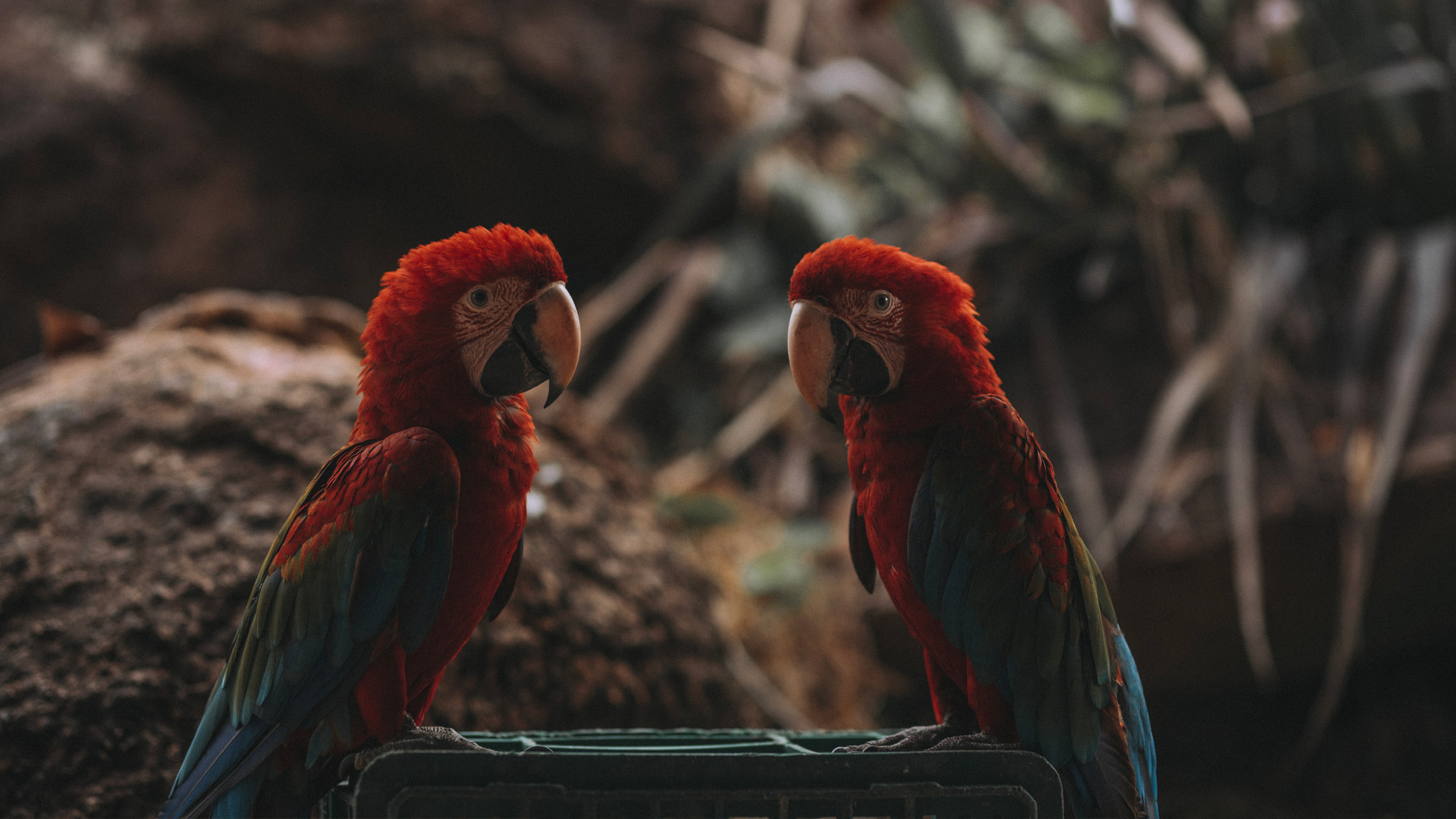
Land that is inhabited by the Sikuani and Paipoco indigenous people, who still live like their ancestors and use the bow and arrow as their main hunting and defense mechanism.
On reaching this ancestral territory, we soon realized we were far from home. We had arrived in the other Colombia, the deepest Colombia that few people know.
We travelled on and could see men with their bows on a mountain in the distance, but we never imagined that we’d be detained, three times in all in fact. They asked us to turn off our motorcycles and cameras while they spoke dialect among themselves. One acted as spokesperson and told us about his ancestral land, warning us that the indigenous people wouldn’t be as friendly further on, but there was no going back now. The journey had to continue, and so it did.
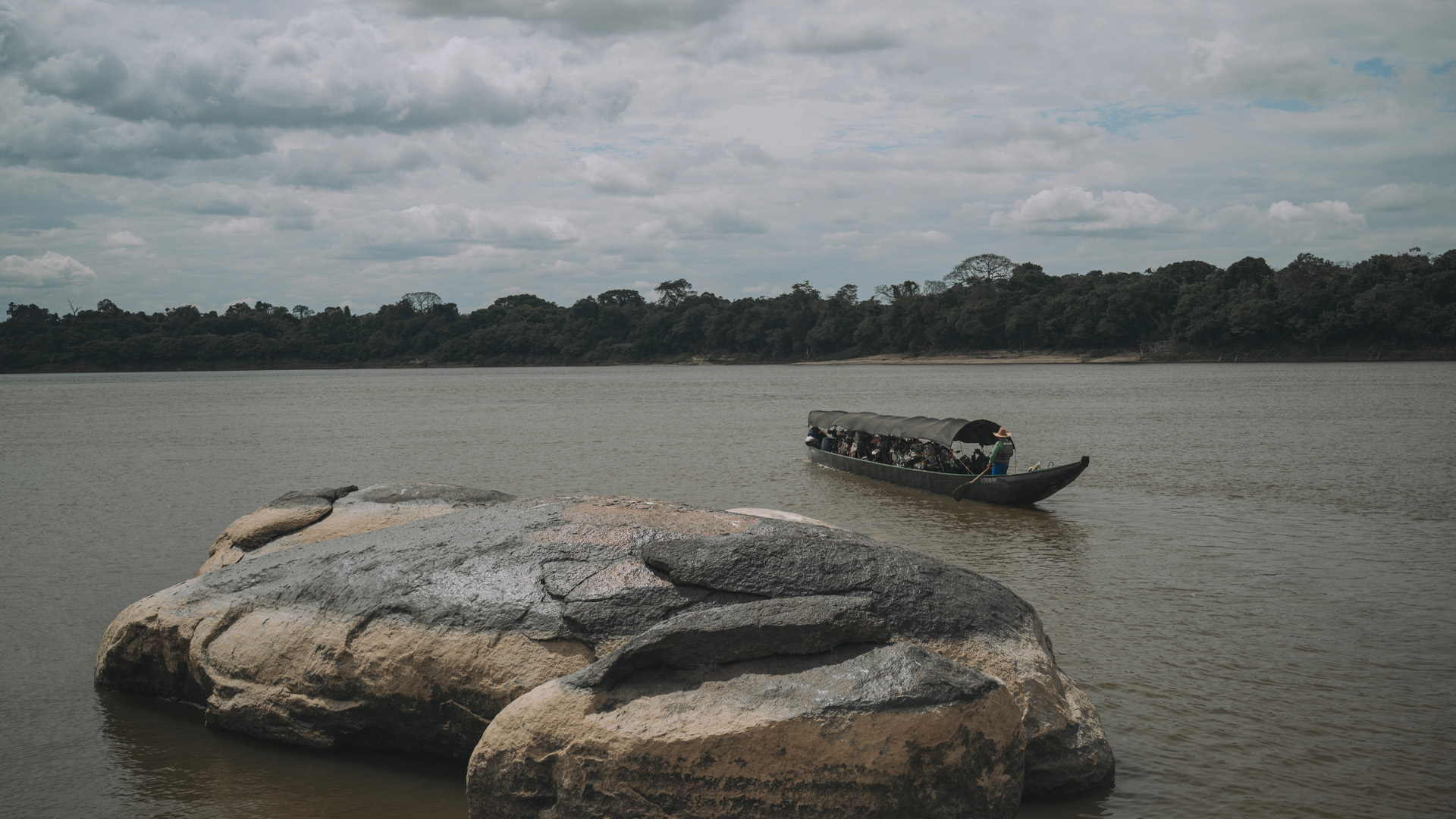
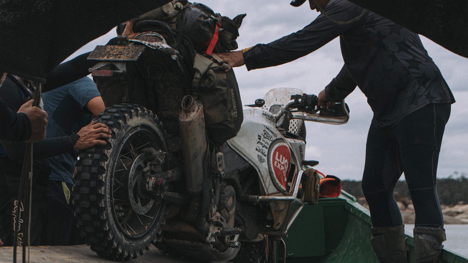
We carried on, passing through more indigenous communities until we again reached the Vichada River, the ‘white man’s border’. There was no bridge of course, just transportation that was even more rudimentary than before, a simple canoe with space for just three motorcycles.
There was still a long way to go to Cumaribo Vichada, the largest municipality in Colombia in terms of area, larger than many European countries but much further from reality due to its limited access.
We would spend the second night there, after travelling almost 250 km off-road through lands that taught us both that white men have no place in certain areas and that what we take for granted in the comfort of our homes counts for nothing on ancestral land.
Cumaribo – Santa Rita [200 km]
In 1498 Christopher Columbus documented the mouth of the Orinoco in the Atlantic, while Alexander Von Humboldt explored the basin in 1800, reporting on the pink river dolphins. The third largest river in the world after the Amazon and the Congo, it was one of our goals, and we set out to reach its banks and the town of Puerto Nariño Vichada, right on the border with Venezuela.
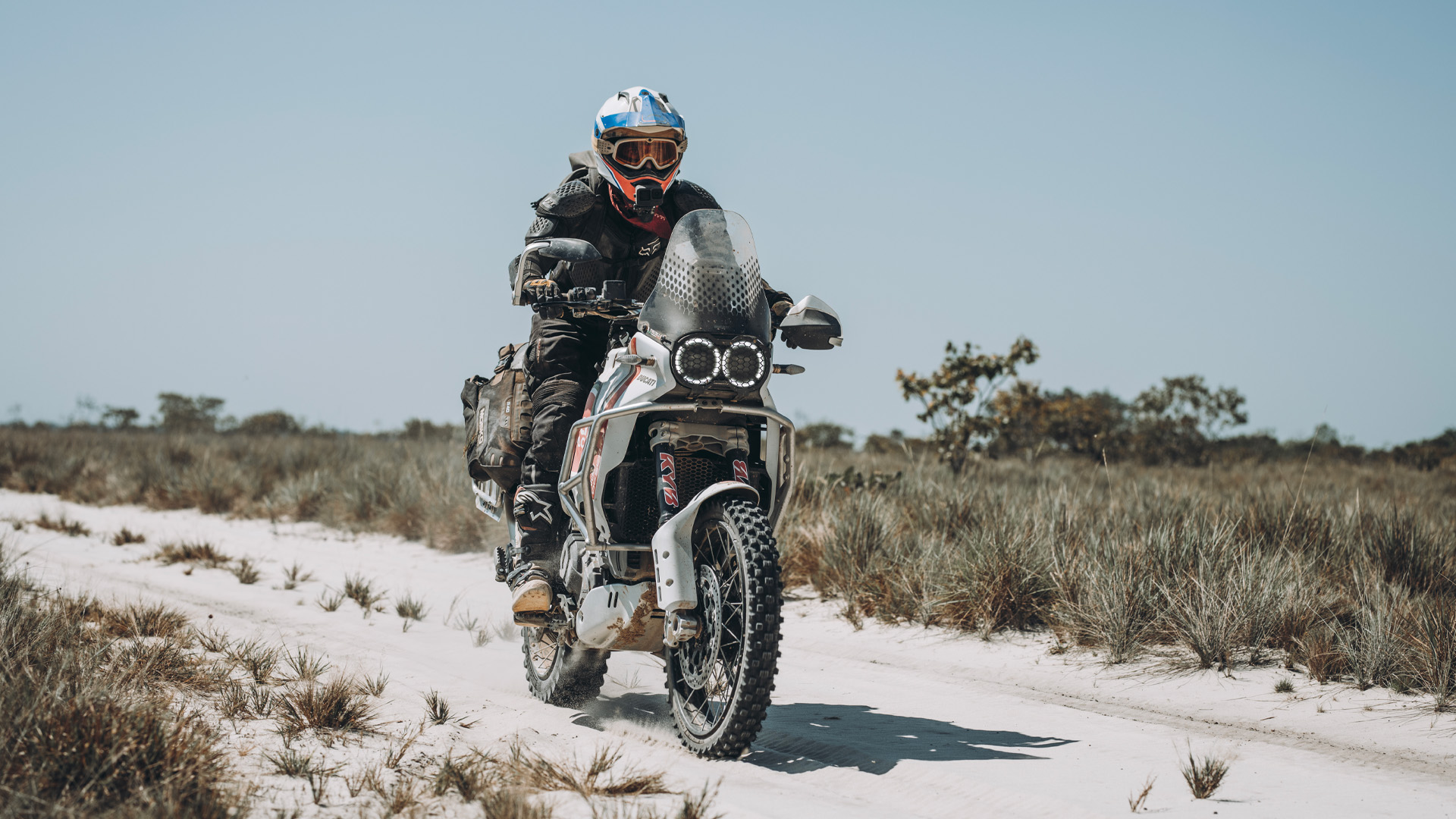
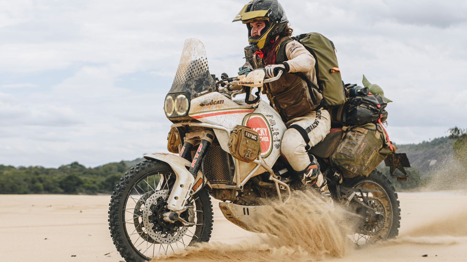
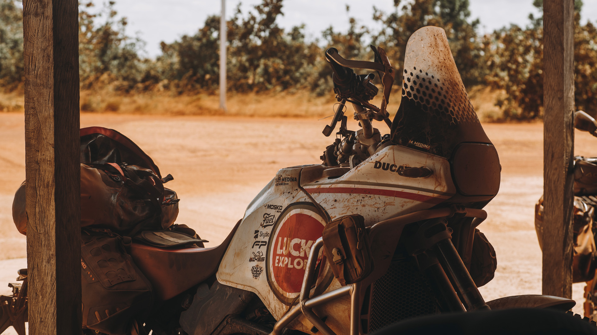
From Cumaribo, an off-road stretch of almost 300 kilometers awaited us. Travelling sand, plains, stony ground and roads used by locals and suited only to motorcycles, the days were tough, with temperatures in excess of 40 degrees Celsius and tangles of roads that all looked the same, making it very easy to get lost on the immense plain.
We arrived in Santa Rita, on the banks of the Vichada River, a strategic place for commerce and supply of the area. In winter, everything from food and vehicles to gasoline is shipped from here, transported for several days along the river to Puerto Inirida Guainia. On this occasion though, because it was summer, it was impossible to navigate the river and vehicles had to venture to Puerto Nariño on the banks of the Orinoco, our goal the next day.
Puerto Oriente – Resguardo indígena Alto Unama – Yopalito – Rio Vichada – Cumaribo [203 Km]
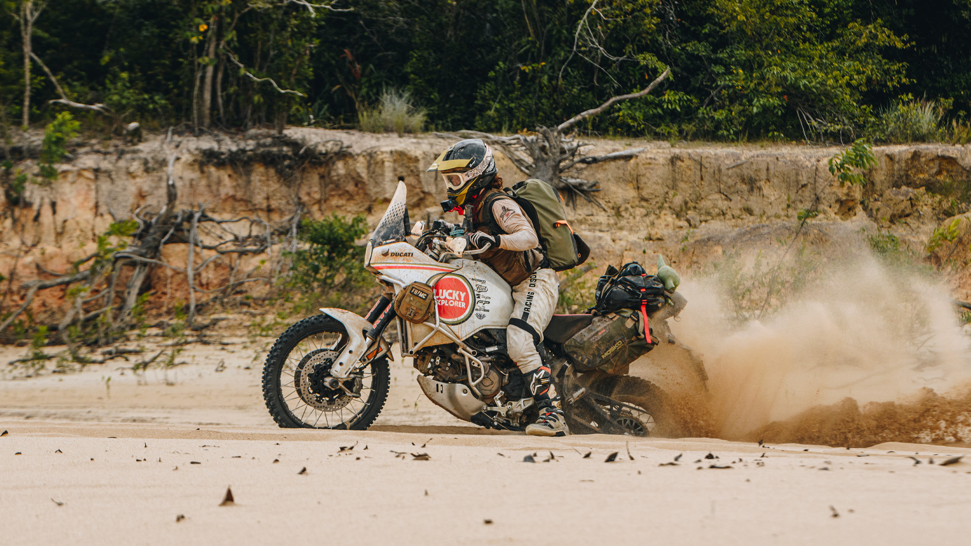
And so began day four of this trip into the unknown, the Santa Rita-Puerto Nariño route. Nothing but plain and, in the distance, that natural barrier that separates the Colombian plains from the Amazon. We were in for a day of fine and intensely white sand, a challenge for motorcycles and riders alike. We crossed without a problem, but the difficult part was still to come, a spot the local refer to as the ‘pool’. In winter it’s a pool of water but in summer it is just mud that can easily swallow a bike.
The plain began to diminish and make way for rocky mountains, forest and more indigenous communities that would watch and wave from a distance, a sign that we were close to our destination - the imposing Orinoco river in Puerto Nariño.
Bordering Venezuela, it is a strategic spot for the transportation of food and passengers to the department of Guainia, an area cut off from the rest of the country by land.
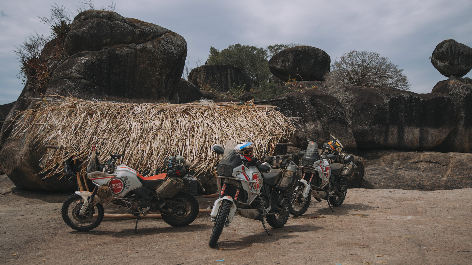
Destination: Cerros de Mavecure
One of the goals of this trip was to visit the Cerros de Mavecure, considered by the indigenous people to be the home of the gods. These three monoliths are part of the Guiana Shield and are located in the jungle on the banks of the Inirida River, which bears the name of an indigenous goddess.
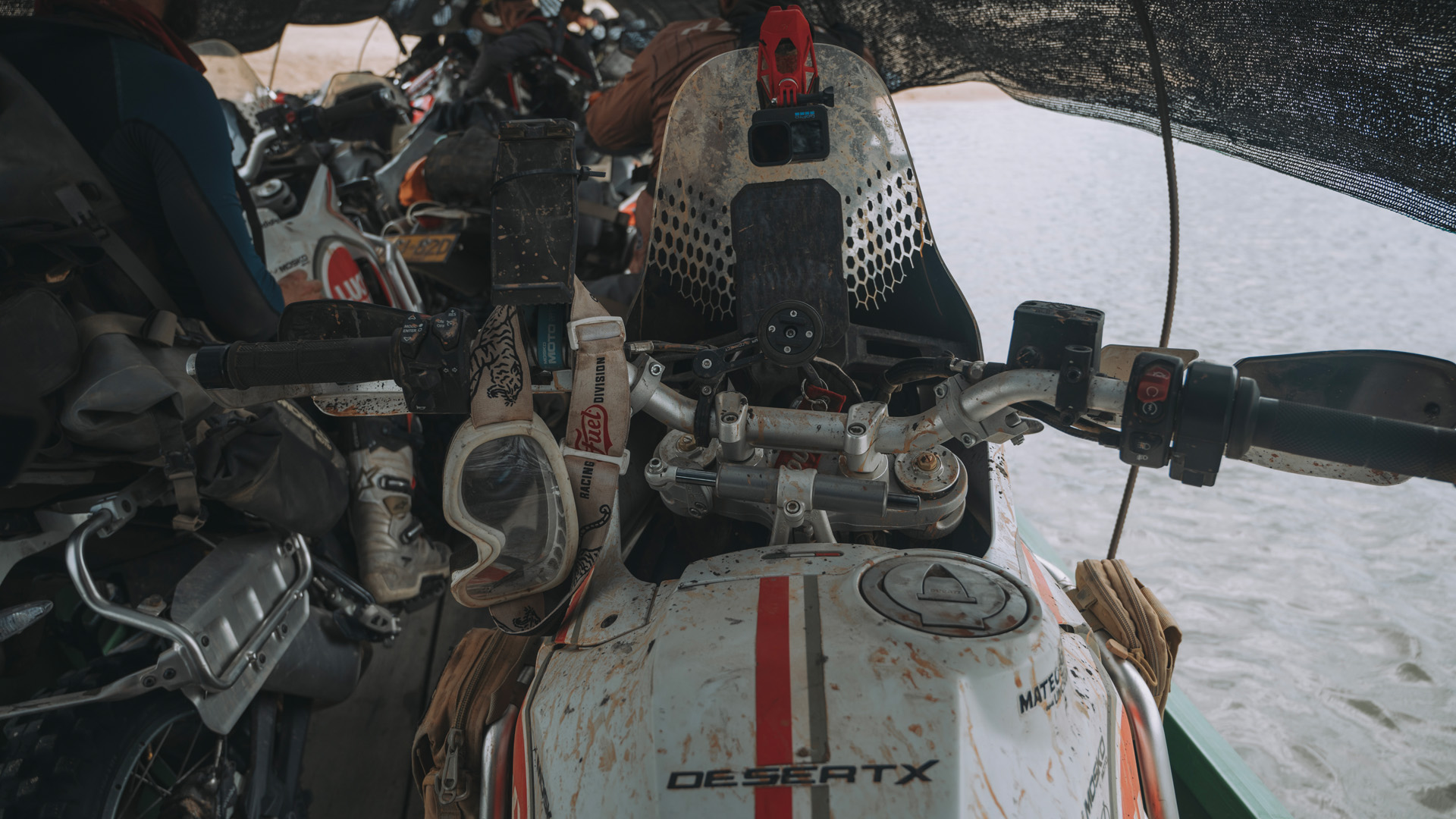
We readied ourselves for a seven-hour boat trip. First, we would navigate the Orinoco River towards the city of Puerto Inirida, passing through the Fluvial Star with the same name, where the Atabapo, Inirida and Guaviare rivers converge into the immense Orinoco.
We continued to travel deeper into the jungle, into the unknown, until we spied the Mono Pajarito and Mavecure hills in the distance, which meant we were closing in our destination.
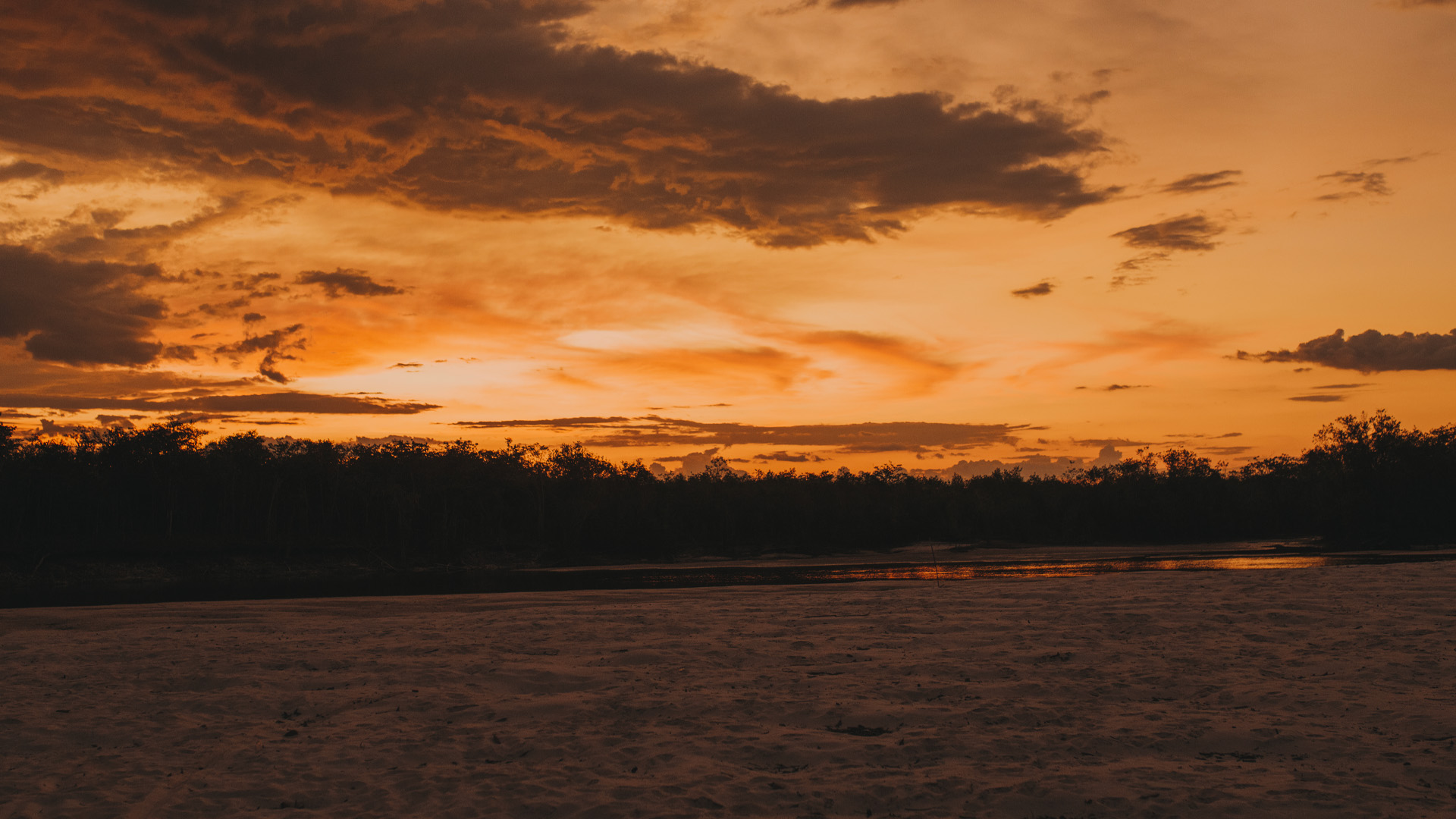
A mirror of water formed by the last rays of the sun on the waters of Río Inirida welcomed us.
“Astonishment, happiness and euphoria took over. We were in one of the most magical, imposing and amazing places we’d ever seen. One of the most remote and majestic places in this beautiful country - the hills of Mavecure.”
We would sail in front of the hills, on towards the San Joaquin channel, which would be our home for the next two nights. A small river of reddish waters and white sand, it is a paradise, there is simply no other way to describe it.
Puerto Nariño – Rio Tuparro [49 km]
Back in Puerto Nariño with our bikes, we would continue our journey into the unknown, travelling now towards the beaches of the Tuparro River, in the vicinity of the imposing Maipures rapids of the Orinoco.
Down on the beach, we had an 11.00 am appointment with a Panga, a typical boat used to transport merchandise in the area. We loaded our motorcycles and sailed towards the limitless Orinoco once again, to reach a place known by the locals as Tambora, an abandoned facility that was used as a rehabilitation center for children until the 1990s.
The most surprising thing is that it is located in the middle of nowhere, with the Orinoco like a barrier on one side and the forest and immense plain on the other.
Tambora – Casuarito [74 Km]
It was a short day but one of incredible landscapes, including the Atures Rapids, another spot that few motorcyclists will have visited, with no road or obvious signs. Thankfully our guide Andres was able to find it with the help of a map and his memories.
We were close. We began to move away from the road and enter a forest perched on an enormous rock, and then there they were, in the distance, huge rapids with massive rocks and currents so strong that navigation is impossible. We were once again right in front of Venezuela, facing the capital of the Amazonas state, Puerto Ayacucho.
A golden sandy beach welcomed us, as did some local fishermen who were sheltering from the scorching sun in improvised huts. We spent time taking in the impressive landscape, a landscape that, 200 years prior, had held explorer Alexander Von Humboldt captive.
We continued on to our destination, the town of Casuarito Vichada right on the border with Venezuela, separated from the Amazonas state of the neighboring country by the Orinoco.
Once an important site for trade and smuggling with Venezuela, it continues to be of the utmost importance today, as it is easier for Colombians to access health and education services in the neighboring country than in Colombia itself, simply because the town lies hundreds of miles from any big city.
“And now the longest and most exhausting stage of the entire trip awaited us, 453 kilometers of off-road as we headed back. A very challenging route for bikes and riders.”
Casuarito – La Primavera [453 km]
It was time to head home, but we still had 1400 km to cover, half of which was off-road on difficult tracks.
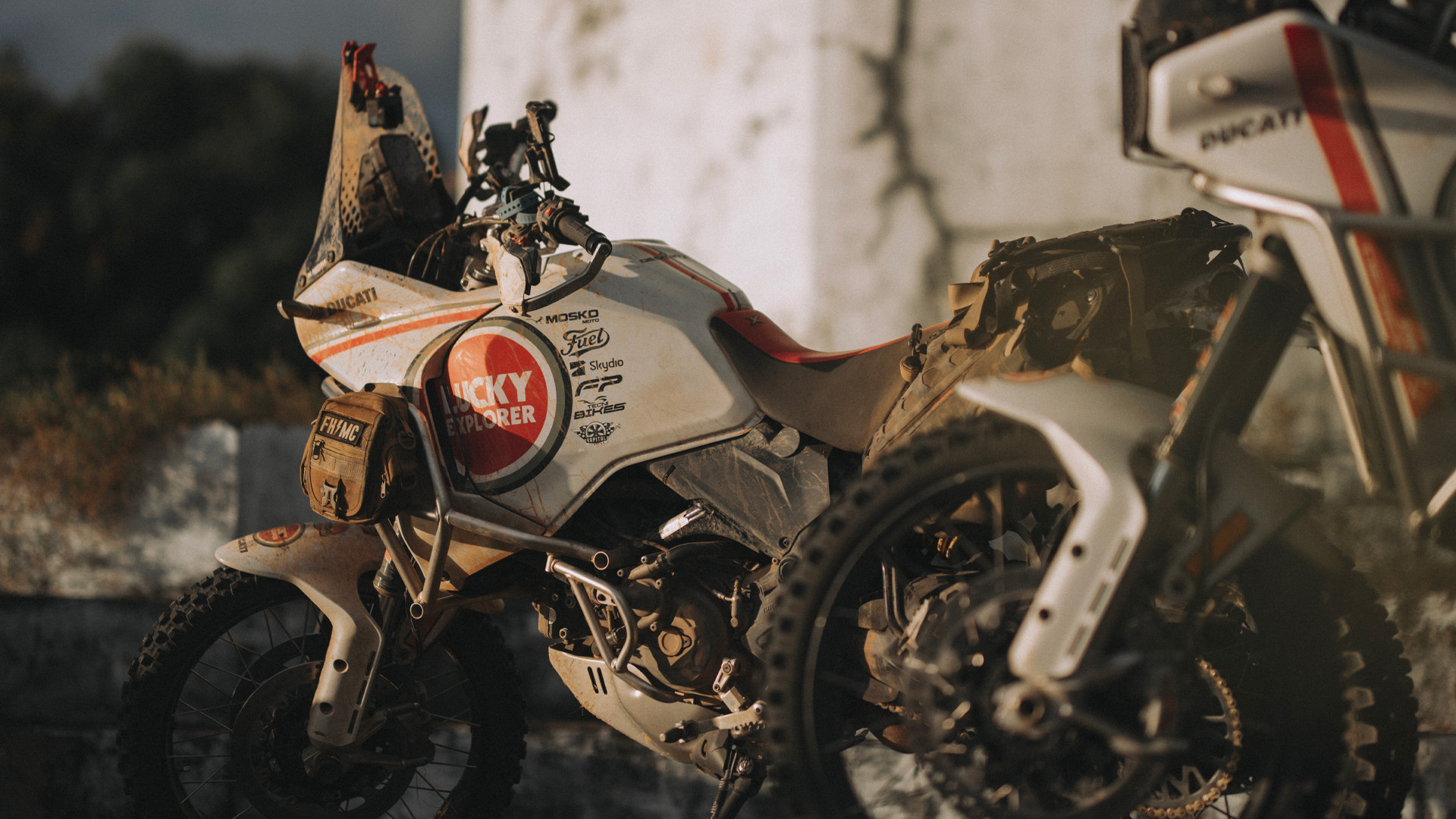
The Casuarito-La Primavera stage would be the most demanding of the trip, but we'd already come so far and the Ducati Desert X bikes were still doing great.
We can’t speak for other parts of the world, but certainly in Colombia this was the biggest test these motorcycles could ever face - a route that sees many vehicles leave by crane, or not leave at all.
“We felt like real adventurers in a real adventure.”
The llanero dawn welcomed us with its colors and sounds as we prepared to spend hours travelling the immense plain.
“After so many days, we already felt the exhaustion. But we still wanted to share in an experience that would undoubtedly be the trip of a lifetime for some of us.”
Its name suggests an asphalt highway with flyovers and bridges, but the famous route 450 couldn’t be more different. It is a national route that connects the city of Puerto Carreño with the rest of the country but is in such a terrible state that it is almost impossible to navigate it in winter and is still quite the challenge in summer.
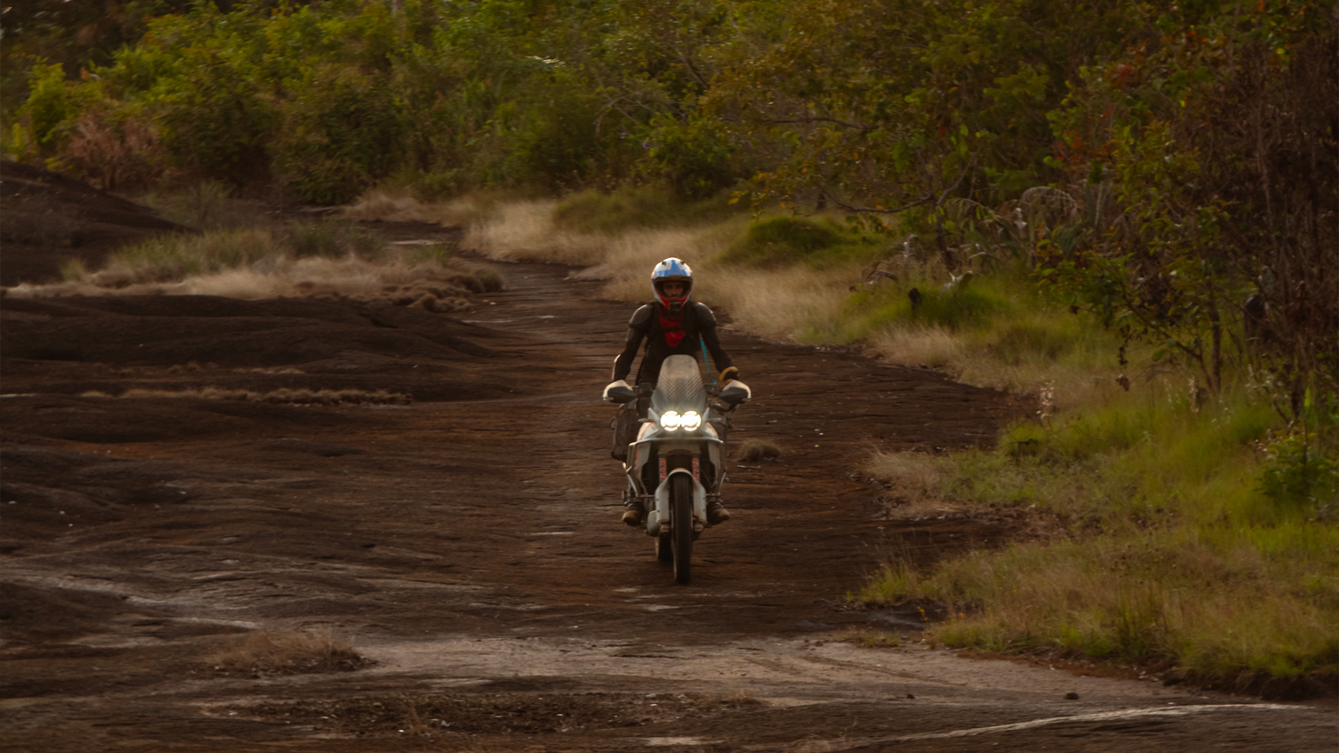
“This would be our farewell to the immense plain, endless tracks of red dust, clouds of talc-like sand and steps in such poor condition that we saw two motorcycles with a broken chassis.”
We would ride for fourteen hours before reaching La Primavera.
La Primavera – Puero Gaitan [250 km]
A final stage of 247 km to Puerto Gaitan provided that moment of introspection as we realized just what we’d done, crossing one of the most remote and extensive departments of Colombia, a place that, for many years, it was not possible to visit due to the armed conflict.
“Even today, now that it’s possible to go there, it doesn’t feature in people’s plans due to its remoteness and the challenging nature of the trip. That is why we decided to do it”.
We have crossed indigenous lands by bike, experienced the immense Orinoco, visited the home of the gods in the Cerros de Mavecure and sailed through the Tuparro to Venezuelan borders.
“Now, back in the comfort of our homes, we can’t stop telling and retelling the story of this trip. A unique and epic journey.”


